Eruption of Eyjafjallajökull Volcano, Iceland
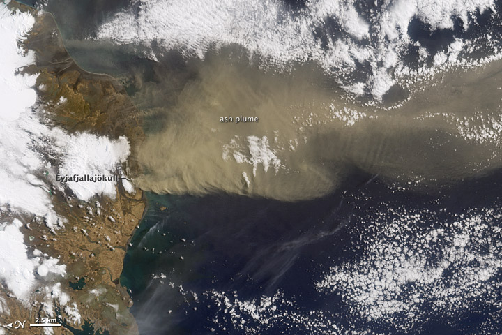
Wednesday, April 28th, 2010NASA — The explosive eruptions of huge ash plumes at Eyjafjallajökull Volcano that grounded airplane travel throughout Europe in mid-April 2010 appeared to be declining late in the month. Small plumes continued to be observed in satellite images, such as this one from April 24, but the volume of ash and the heights of the plumes appeared less than before.
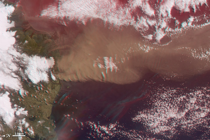
When the Advanced Land Imager on NASA’s Earth Observing-1 (EO-1) satellite captured this view, the summit of the volcano (image left) was shrouded with brownish-gray ash that contrasted sharply with the white cloud billowing up through the plume. The cloud may be partly steam from the volcano and partly pyrocumulus cloud generated from the heat. The ash cloud is thick over the summit, and it thins to the east. Around the margins of the image, the skies seem relatively clear; the snowy landscape is overlaid with charcoal-colored ash.
The decline in huge ash eruptions has been replaced with new lava flows, which extend between 400 and 500 meters (0.25 to 0.31 miles) north of the summit crater. The lava flow has created a gully in the ice cap that reaches north about 700 meters (0.44 miles).
References
Icelandic Met Office. (2010, April 26). Conditions and Assessment – 25 April 2010 22:30. Update on Activity Eruption in Eyjafjallajökull, Iceland. Retrieved April 26, 2010.
NASA image by Jesse Allen & Robert Simmon, using ALI data

Eruption of Eyjafjallajökull Volcano, Iceland

